Mt. San Gorgonio, at 11,502 feet, is the tallest mountain in Southern California and is a must do for any Southern California Hiker. This is a hike that I did with several of my hiking buddies in our collective training for our
Mt. Whitney hike we finished in June of 2010. The summit of Mt. San Gorgonio offers amazing views of Southern California and bragging rights among fellow hikers. It is also a great training hike for Mt. Whitney.
Directions to Trailhead: To hike to the top of Mt. San Gorgonio via the South Fork Trailhead, going from Orange County, take the 91 freeway east towards Riverside. Stay on the 91 freeway which eventually becomes the 215 freeway. The 215 freeway eventually intersects with Interstate 10. At the 215 freeway and Interstate 10 interchange, take Interstate 10 going East toward Palm Springs. Exit from Interstate 10 on University which is in the City of Redlands. Make a left and follow University (You will pass through Redlands University) until you meet Highway 38. Take a right on Highway 38, going toward the San Bernardino Mountains. In several miles you will pass the Mill Creek Ranger Station (Where you obtain the additional wilderness permit if you have not gotten it early), continue on up into the
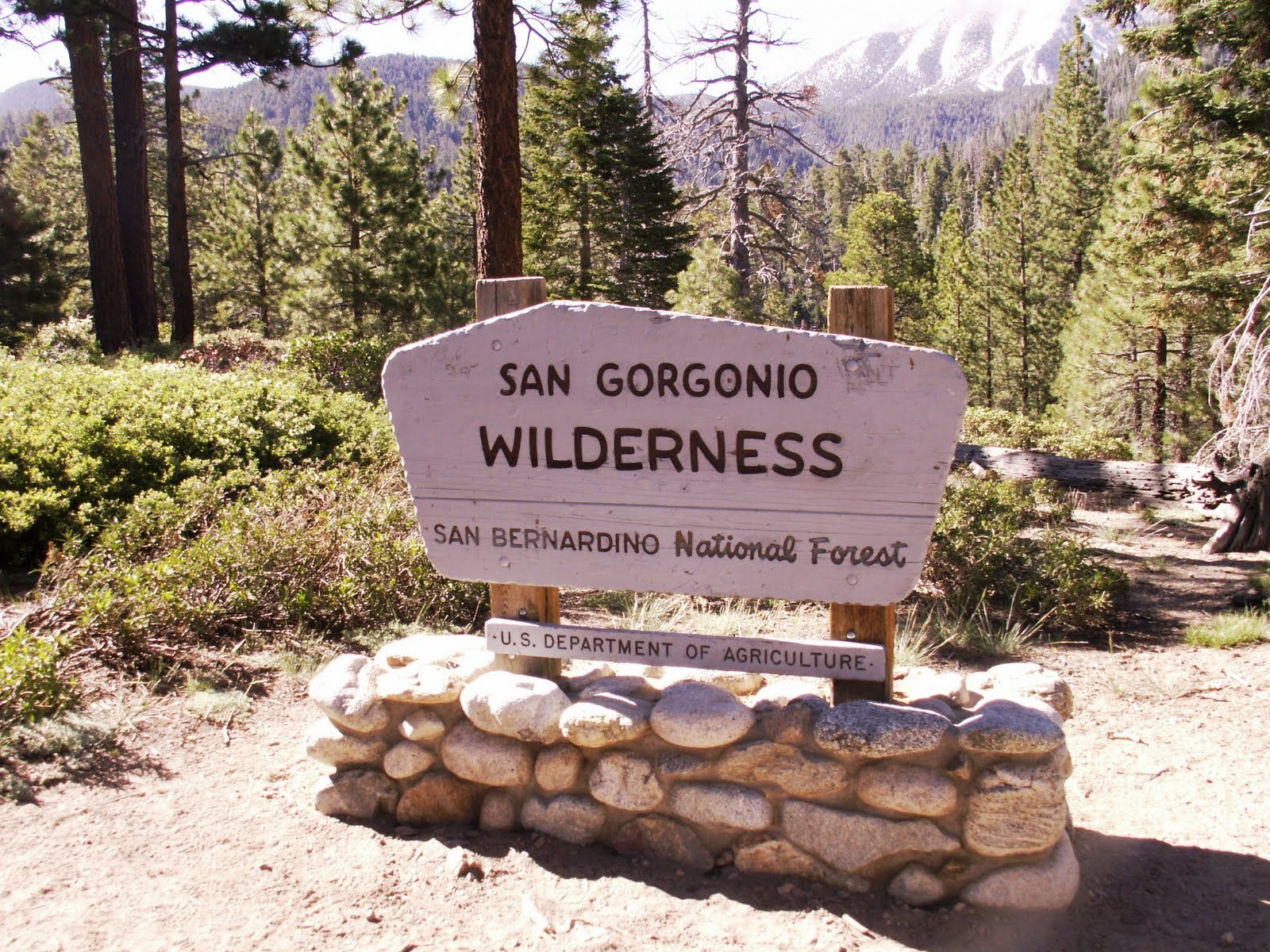
San Bernardino National Forest. Highway 38 will take you to the trailhead. Exit highway 38 onto Jenks Lake Road (This road is located before Barton Flats). Take Jenks lake road a couple of miles and the trailhead is on your left hand side. It is a large parking lot with a big sign indicating the South Fork Trailhead. (A
Forest Adventure Pass is needed as well as a free
Wilderness Permit for the San Gorgonio Wilderness).
Description of Hike: To day hike or overnight backpack in the San Gorgonio Wilderness, you must have an additional wilderness permit (The Permit is Free), in addition to the Forest Adventure Pass. You can
Follow this link for the permit. The link will direct you to the wilderness permit application. You can obtain the additional wilderness permit early from the
Mill Creek Ranger Station which is the easiest way, or you will have to stop at the Mill Creek Ranger Station before you go hiking. Each trail in the San Gorgonio Wilderness has a set quota for the number of hikers allowed on each trail and once the quota is reached the Forest Service doesn't issue more wilderness permits for the trail. That is why I recommend you get your wilderness permit early for your hike to the summit of Mt. San Gorgonio. You can obtain a permit 90 days before your hike.

Mt. San Gorgonio is located in the San Gorgonio Wilderness (approximately 58,969 Acres). The total length of the hike to the summit of Mt. San Gorgonio via the south fork trail is 23.6 miles roundtrip with a 4,601 foot elevation gain. This is a very popular trail to hike to the summit and you will likely see people on the trail as well as in the campsites. The permit quota often fills up for this hike, especially during weekends during peak summer months, so get your free wilderness permits in advance. The trail is well maintained and is usually in good condition. All trails are well marked, except right by Dry Lake. This hike is very strenuous and only fit hikers should hike to the summit. It is a good idea to train on other hikes like
Mt. Baden Powell or
Mt. San Jacinto in preparation for this hike.
For this hike you take the South Fork Trail which passes Horse Meadows and then crosses into the San Gorgonio Wilderness. The South Fork Trail goes to the South Fork Meadow, where you take the trail to Dry Lake. There is camping available at Dry Lake (Water is available at Lodge Pole Springs) as well as further up at Trail Flats (No water available). The trail continues all the way to the summit. There are several other trails that go to the summit of Mt. San Gorgonio (
Vivian Creek and Fish Creek). The South Fork Trail is one of the most popular routes to the summit for hikers to use. This is the most scenic rout to the top of Mt. San Gorgonio.
Further Thoughts: A map of the San Gorgonio Wilderness is always a good thing to bring along with you. The
San Gorgonio Wilderness Association Store has one for sale. For those who want to split the hike up into two days, which is recommended if you want to enjoy being out in the wilderness, several campgrounds are available.
The hike to the summit of Mt. San Gorgonio is a major accomplishment for any Southern California Hiker. It is the highest point in Southern California and will give you bragging rights with fellow hikers. The trail is strenuous but the views and sights are totally worth it. Click Here for a live webcam of Mt. San Gorgonio courtesy of BigBearWeather.com.
During the summer months always be on the watch for thunderstorms as they can develop rapidly in the San Gorgonio Wilderness. There were no thunderstorms while we were on this hike. However, we did get to observe the wasteland left by a huge avalanche during the winter months. While we were on this hike there was snow present on the trail above 10,000 feet. This is a north facing approach to the Summit of Mt. San Gorgonio which means during the winter expect to observe more snow. Snow can be present for many months of the year on the trail to the summit of San Gorgonio make sure to check the conditions with the
San Gorgonio Wilderness Association's Bulletin Board.
On the trail there is also an airplane wreck from 1953, where a military plane crashed into the side of Mt. San Gorgonio during a snow storm. Most of the wreckage is still there. Sadly everyone on the plane was lost.
Dry Lake is another notable spot along the hike to Mt. San Gorgonio. It has stellar views of the surrounding San Bernardino Mountains and during most of the year is filled with water. During the summer months and early fall it becomes a meadow until snow returns in the winter. During the winter this area gets a lot of snow. If you are doing this hike in the winter you will likely need crampons, snow shoes, and good winter gear. Remember, snow can be present for many months of the year on the trail to the summit of San Gorgonio so make sure to check the conditions if you are doing this hike in late fall, the winter, or the spring. If you do this hike during the cold winter months make sure you are prepared with proper gear as only experienced hikers should do this hike during the winter.
Rating: Elevation Gain: 4,601 ft. (Strenuous), Distance: 23.6 Miles Roundtrip (Strenuous), Note: be on the watch for Altitude sickness since the height of Mt. San Gorgonio is 11,502 ft.
Time to Complete Hike: 9 - 11 hours.
Good Training Hikes:
Mt. Baden-Powell,
Mt. San Jacinto,
Saddleback Mountain,
Cucamonga Peak,
Mt. Baldy.
MORE TRAIL WRITE-UPS ON MT. SAN GORGONIO
Mt. San Gorgonio (Via the South Fork Trail, June 2010)(This Post)
View Mt San Gorgonio (Via South Fork Trail) in a larger map


Comments
Post a Comment
Ashley and I encourage and welcome our readers to submit comments about their experiences on the trails we have posted on our blog or about their own hiking experiences in general.